

Ae weet forenicht i’ the yow-trummle
I saw yon antrin thing,
A watergaw wi’ its chitterin’ licht
Ayont the on-ding;
An’ I thocht o’ the last wild look ye gied
Afore ye deed!
There was nae reek i’ the laverock’s hoose
That nicht -- an’ nane i’ mine;
But I hae thocht o’ that foolish licht
Ever sin’ syne;
An’ I think that mebbe at last I ken
What your look meant then.
Hugh MacDiarmid: The Watergaw, from Sangschaw, 1925
One wet, early evening in the sheep-shearing season
I saw that occasional, rare thing --
Broken shaft of a rainbow with its trembling light
Beyond the downpour of the rain
And I thought of the last, wild look you gave
Before you died.
The skylark’s nest was dark and desolate,
My heart was too
But I have thought of that foolish light
Ever since then
And I think that perhaps at last I know
What your look meant then.
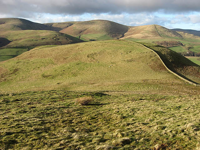
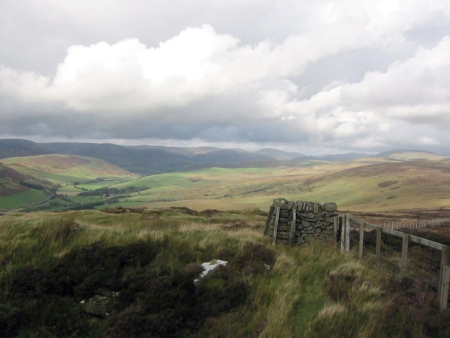
The col between Hog Hill and Loch Hill. Border hill countryside viewed in early February. The hill fort on Loch Hill is clearly visible beyond the col, and the drystone wall on the right runs through the middle of the fort: photo by Walter Baxter, 6 February 2008

Strait Knowes on Arkleton Hill. Arkleton Lochan is to the left by the trees: photo by Walter Baxter, 3 February 2007
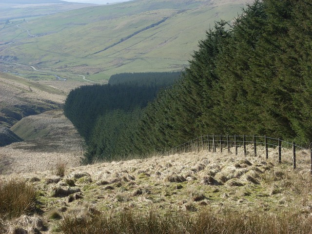
Forest edge, Clagberry Hill. Accompanying Fingland Burn on its way down to Logan Water: photo by Andrew Smith, 24 March 2007
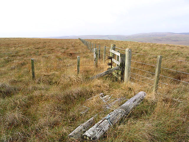
Fences on Bloch Hill: photo by Walter Baxter, 3 November 2007

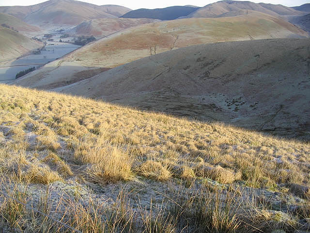
Sheep by the Hoghill Burn. Upland grazing countryside between Hog Fell and Hog Hill: photo by Walter Baxter, 6 February 2008
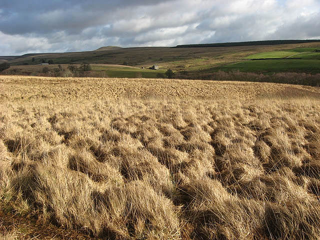
Rough grazing at Rashiel Sike. The top of Tinnis Hill is on the skyline centre left: photo by Walter Baxter, 6 February 2008

Rough grazing on Henbrae Hill. Hill grazing for cattle and sheep with Craig Hill centre right beyond the plantation. Viewed from the northern end of Black Knowe: photo by Walter Baxter, 22 September 2007

Logan Water and Arresgill. Looking down from Tansy Hill: photo by Andrew Smith, 22 March 2007

Rough grazing on Pike Fell. Looking down towards Mosspeeble: photo by Walter Baxter, 3 February 2007
Looking over Martin Hope from White Hill. The hills beyond include Seppings Hill and Blackhall Hill: photo by Walter Baxter, 3 February 2007
Monument Hill, Langholm: photo by David Ambridge, 4 October 2001

Clark Fell. Clark Fell (250m) is the hill in the foreground viewed from Mid Hill, with hills beyond in Ewesdale: photo by Walter Baxter, 22 September 2007

Arkleton Burn. Viewed in December from the edge of the square: photo by Walter Baxter, 16 December 2007
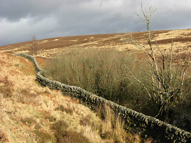
A drystane dyke near Little Tarras Water. In a moorland setting to the west of Little Tarras Water and viewed in early February: photo by Walter Baxter, 6 February 2008

A muddy track on Middleholm Hill: photo by Walter Baxter, 3 November 2007

A farm track on Auldshiels Hill, viewed on a cold December day: photo by Walter Baxter, 16 December 2007
No comments:
Post a Comment